DIMPEO
Detecting drought impacts on forests in earth observation data
Abstract
Recent years have seen extremely dry and hot summers causing substantial damage to forests in Switzerland and neighboring regions. Satellite-based remote sensing has enabled the detection of tree mortality and premature defoliation, observed as anomalous “browning” of the vegetated land surface. To better identify and understand the underlying drivers of these impacts, this project developed a vegetation modeling approach to detect anomalous forest browning events using high-resolution Earth Observation (EO) data. Sentinel-2 satellite imagery, climate reanalysis data, topography, vegetation height, and composition were integrated into a neural-network-based modeling framework. This approach was constrained to produce ecologically plausible solutions. Probabilistic modeling of expected normal vegetation cycles was achieved through quantile regression, facilitating the detection of spatio-temporal anomalies in vegetation greenness. By improving our understanding of the timing, location, magnitude, and drivers of forest browning, this research provides a foundation for developing predictive tools for short-term (weeks to months) drought impact and forest fire forecasting.
People
Collaborators

David joined SDSC in February 2024. Before that, he completed his doctorate in computer vision at ETH Zürich. His doctoral thesis focused on multi-task learning and domain adaptation in neural networks for applications in visual recognition. In addition, he gained research experience in transfer learning and multi-modal learning. David’s current work at SDSC ranges from large-scale vegetation modeling based on satellite imaging to analysis of electronic health records with deep learning methods.

Michele received a Ph.D. in Environmental Sciences from the University of Lausanne (Switzerland) in 2013. He was then a visiting postdoc in the CALVIN group, Institute of Perception, Action and Behaviour of the School of Informatics at the University of Edinburgh, Scotland (2014-2016). He then joined the Multimodal Remote Sensing and the Geocomputation groups at the Geography department of the University of Zurich, Switzerland (2016-2017). His main research activities were at the interface of computer vision, machine and deep learning for the extraction of information from aerial photos, satellite optical images and geospatial data in general.
PI | Partners:
University of Bern, Geocomputation and Earth Observation Group:
- Prof. Benjamin Stocker
- Samantha Biegel
description
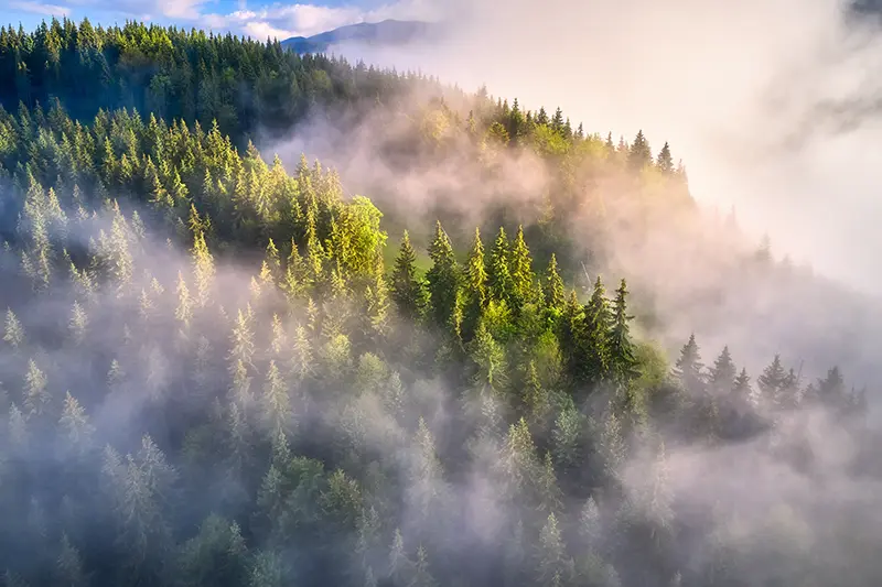
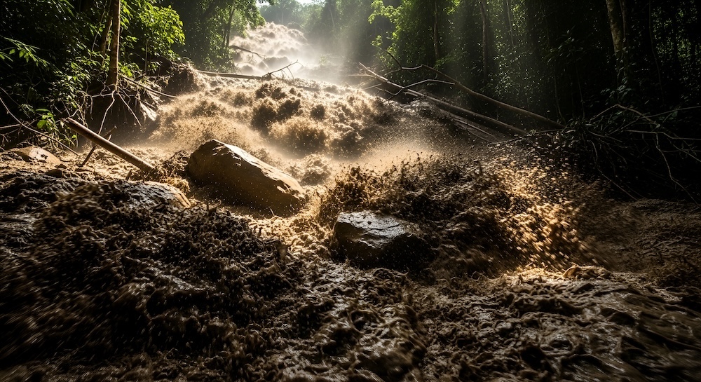
Motivation
In recent years, the damage inflicted on forests by increasingly dry and hot summers has emerged as a critical concern for diverse stakeholders across Switzerland and neighboring regions. Understanding when and where climate extremes impact forest health and vitality is essential for developing effective forecasting and early warning systems. Satellite-based remote sensing offers a powerful means of monitoring forests, allowing the detection of anomalous "browning"—an unexpected decline in plant growth or a sudden reduction in plant productivity—on the vegetated land surface. However, processing and analyzing large and noisy Earth Observation (EO) datasets present significant challenges. How can we reliably identify and interpret these anomalies? To address this, our project implemented a robust pipeline for detecting forest browning events using high-resolution EO time series data.
Proposed Approach / Solution
Given the pronounced seasonality of vegetation greenness, we focused on modeling annual greenness cycles. By constraining these cycles to a double sigmoid function, we employed a neural network to predict ecologically interpretable parameters of the sigmoid based on diverse variables, including local elevation, exposition, climate, forest type, and terrain. To model "normal" greenness cycles, the framework utilized quantile regression to produce confidence intervals, facilitating the identification of deviations indicative of anomalies. This anomaly detection model is scalable to the high-resolution EO data covering the entirety of Swiss forests and enables the creation of interactive maps that illustrate the spatio-temporal patterns of forest drought anomalies.
Impact
Strengthening the capacity for drought impact monitoring and near-term forecasting (with lead times of weeks to months) has been designated a high priority by the Swiss Federal Council. A national program for its implementation has recently been initiated under the National Centre for Climate Services (NCCS). The methodologies developed through this project contribute to an open-access, robust, transparent, and updatable workflow for detecting and quantifying drought impacts. These advancements lay the groundwork for improving drought impact assessment and forest fire forecasting methods in future research.
Presentation
Gallery
Annexe
Additional resources
Bibliography
- Brun, P., Psomas, A., Ginzler, C., Thuiller, W., Zappa, M., & Zimmermann, N. E. (2020). Large‐scale early‐wilting response of Central European forests to the 2018 extreme drought. Global change biology, 26(12), 7021-7035.
- Sturm, J., Santos, M. J., Schmid, B., & Damm, A. (2022). Satellite data reveal differential responses of Swiss forests to unprecedented 2018 drought. Global Change Biology, 28(9), 2956-2978.
Publications
Related Pages
More projects

ACROSS
Dedgeflow

CHUV: Heracles - Sepsis Model

AI-Driven Political Monitoring
More projects
News
Latest news
SDSC and PSI teams jointly explore the AI potential of large-scale infrastructures
SDSC and PSI teams jointly explore the AI potential of large-scale infrastructures
Coding the Future: Energy Data Hackdays Expand to French-speaking Switzerland
Coding the Future: Energy Data Hackdays Expand to French-speaking Switzerland

Science des données : le SDSC et le Canton de Vaud soutiennent quatre projets appliqués
Science des données : le SDSC et le Canton de Vaud soutiennent quatre projets appliqués
Contact us
Let’s talk Data Science
Do you need our services or expertise?
Contact us for your next Data Science project!