
CarboSense4D
Four-dimensional mapping of carbon dioxide using low-cost sensors, atmospheric transport simulations and machine learning
Started
April 1, 2018
Status
Completed
Share this project

Abstract
How to determine real-time CO2 emissions of the city of Zurich and track their year-to-year evolution, enhance the understanding of CO2 exchange between biosphere and atmosphere over Switzerland, and improve the data quality of low-cost sensor networks.
description
Problem
- Determine real-time CO2 emissions of the city of Zurich and track their year-to-year evolution
- Enhance understanding of CO2 exchange between biosphere and atmosphere over Switzerland
- Improve data quality of low-cost sensor networks
Solution
Integrate complimentary information from
- Dense network of CO2 sensors across Switzerland
- Atmospheric transport simulations * Data analysis and machine learning
Impact
- CarboSense4D improves the operation of dense trace gas sensor networks and the understanding of CO2 fluxes at urban and regional scales to support the assessment of CO2 emission reduction measures.
Presentation
Download Presentation
Gallery
Annexe
Additional resources
Bibliography
Publications
Related Pages
More projects
ACROSS
In Progress
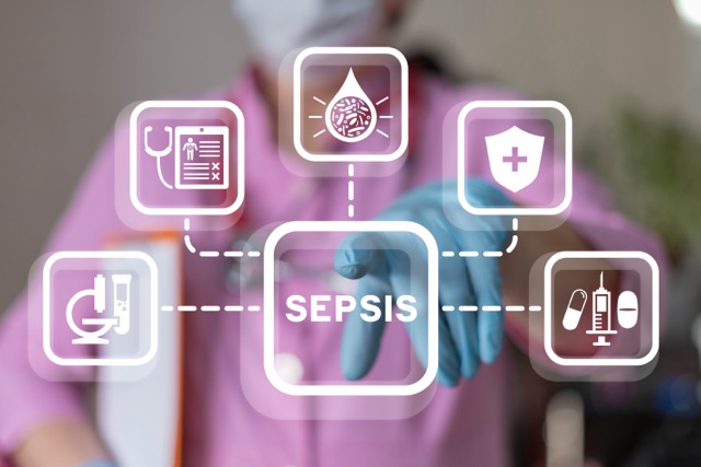
Actionable, Collaborative, Reusable, interOperable Sepsis System
Health & Biomedical
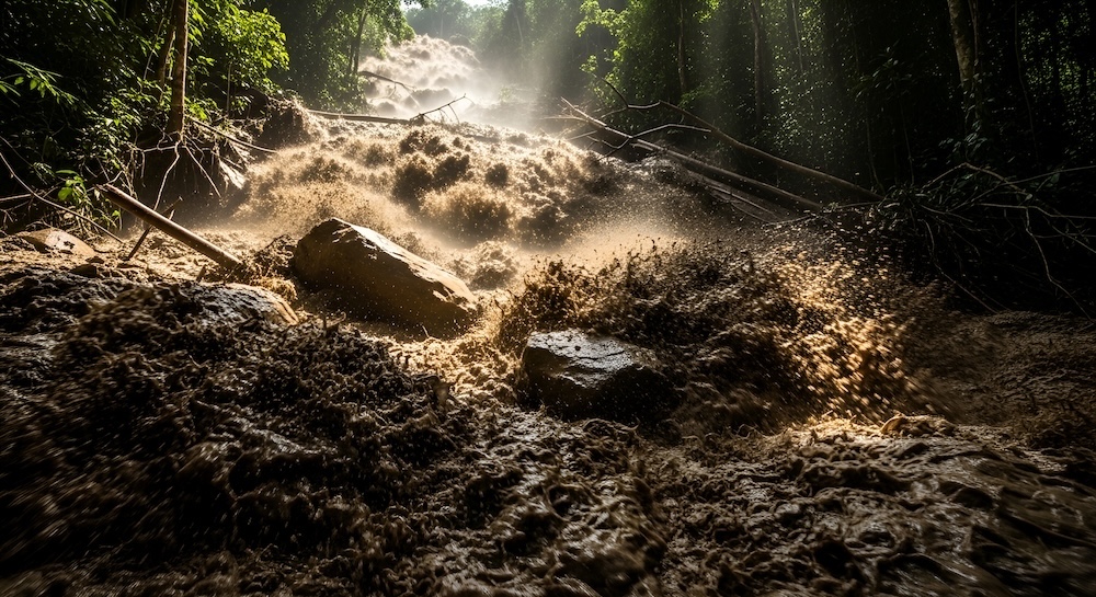
Dedgeflow
Completed
Using Data Science and Edge Computing for Debris Flow Warning
Climate & Environment
Academia
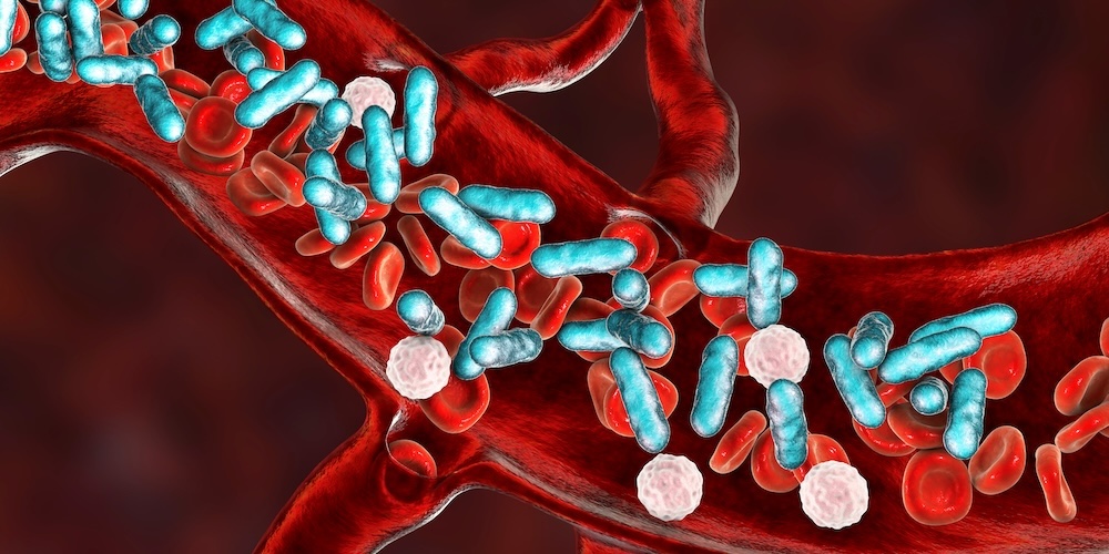
CHUV: Heracles - Sepsis Model
Completed
CHUV: Improving Sepsis detection and quality of care with AI
Health & Biomedical
Public sector

AI-Driven Political Monitoring
Completed
Legislative tracking for labor advocacy at Kaufmännischer Verband Schweiz
Digital Society
Private sector
More projects
No results found.
There are no results with this criteria. Try changing your search.
No result
News
Latest news
July 8, 2026
SDSC and PSI teams jointly explore the AI potential of large-scale infrastructures
SDSC and PSI teams jointly explore the AI potential of large-scale infrastructures
Tailored community event at PSI in Villigen, Aargau, reveals machine learning and AI opportunities in accelerating scientific discovery
May 7, 2026
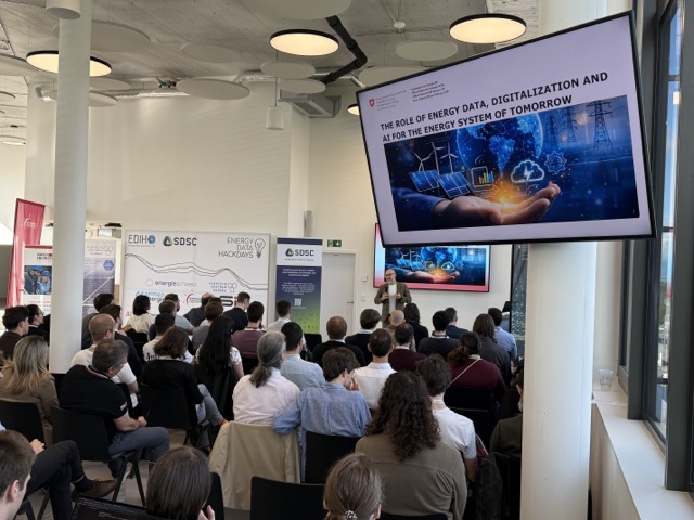
Coding the Future: Energy Data Hackdays Expand to French-speaking Switzerland
Coding the Future: Energy Data Hackdays Expand to French-speaking Switzerland
Held at the SDSC headquarters at Biopôle, the Energy Data Hackdays gather 100 experts to tackle 5 energy and grid challenges.

April 30, 2026
Science des données : le SDSC et le Canton de Vaud soutiennent quatre projets appliqués
Science des données : le SDSC et le Canton de Vaud soutiennent quatre projets appliqués
Le SDSC et le Canton de Vaud ont retenu quatre projets parmi les 57 soumissions reçues lors de leur deuxième appel à projets.
Contact us
Let’s talk Data Science
Do you need our services or expertise?
Contact us for your next Data Science project!